A little bit of history about the Prinz Eugin

Laid down at Krupp Germania shipyard in Kiel on April 23, 1936, the Prinz Eugen was launched on August 22, 1938 and commissioned on August 1, 1940.

During World War I, the Eugen engaged HMS Hood and HMS Prince of Wales with the Bismarck during May 1941. Considered a "lucky ship", she survived to the end of the war, although she participated in only two major actions at sea. At the end of the war, the ship was surrendered to British at Copenhagen on May 7, 1945 and then was turned over to US forces in Germany during December 1945 and renamed "USS IX 300" .

Post War, the Eugen was sailed to the US and was converted into a target ship during Operation Crossroads at Bikini Atoll in 1946.

On July 1, 1946 was used in atomic bomb test "Able" and sustained only light damage. On July 25, was used in atomic bomb test "Baker", ship took damage below the waterline. One of 50 ships that survived and was then towed to Kwajalein. There she was inspected for radiation and bomb damage.  The ship had been weakened by the blast and began to take on water. Overnight on December 22, 1946 developed a 35 degree list and then sank at the Southern Atoll on Enubuj Reef.

The screws and rudder are partially exposed above water. Divers anchor on the wooden wreck of small hull in 30' of water opposite the screws. The hull rests against the reef, but there is an opening at the 90' level, just forward of the bridge. The bow is at 110' and you can swim under it. There is easy access to most of the ship.

The crew's quarters are accessible with remains of bunks and personal effects. Mess area contains crockery. A latrine. Machinery and fire fighting gear is suspended on the deck. Amidships much has fallen onto the seabed including some AA guns and their mounts. Some items have been recovered from the bridge. The armament two large turrets with twin 8 inch barrels. Large 4.1" guns, dual and quad AA guns are almost all still intact. Port torpedo tubes have torpedoes in them. The interior structure are intact and safe for exploration. Radiation is no longer a threat. But several divers have lost their lives in deep penetrations of the wreck.

One of the screws was removed and returned to Germany [details unknown]. Today, it is displayed at the German Naval Memorial at Laboe.  The ship's bell was removed by US sailors prior to the atomic tests. Today, it is displayed at Navy Museum's Cold War Gallery at the Washington DC Navy Yard.

The Prinz Eugin

Headed to Kwajalein

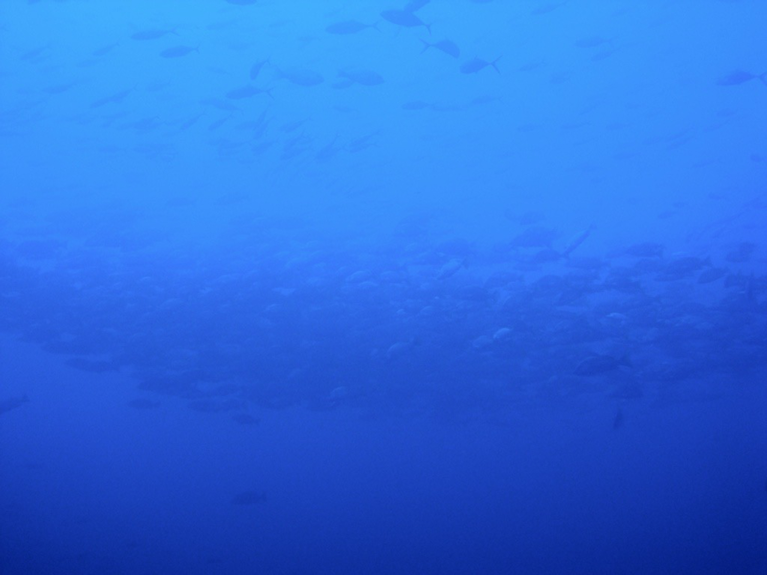
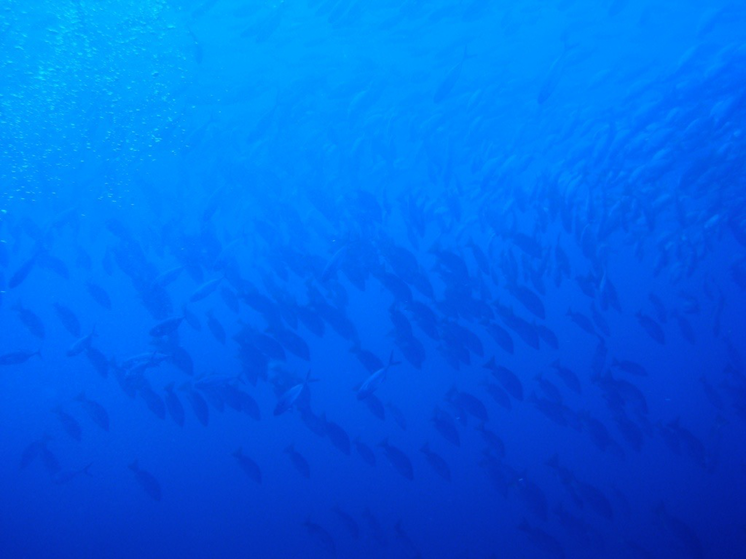
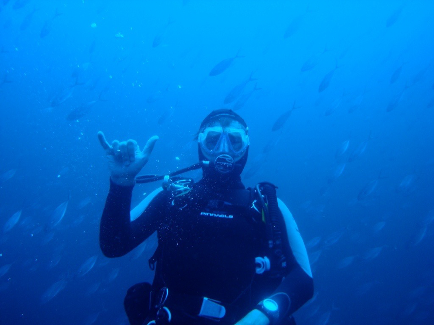
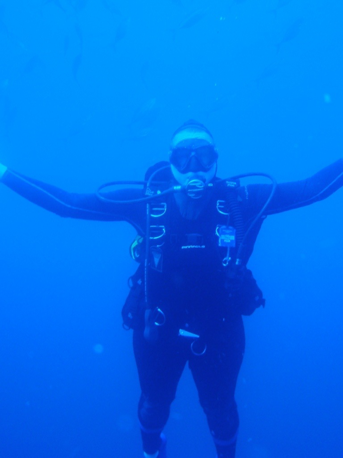
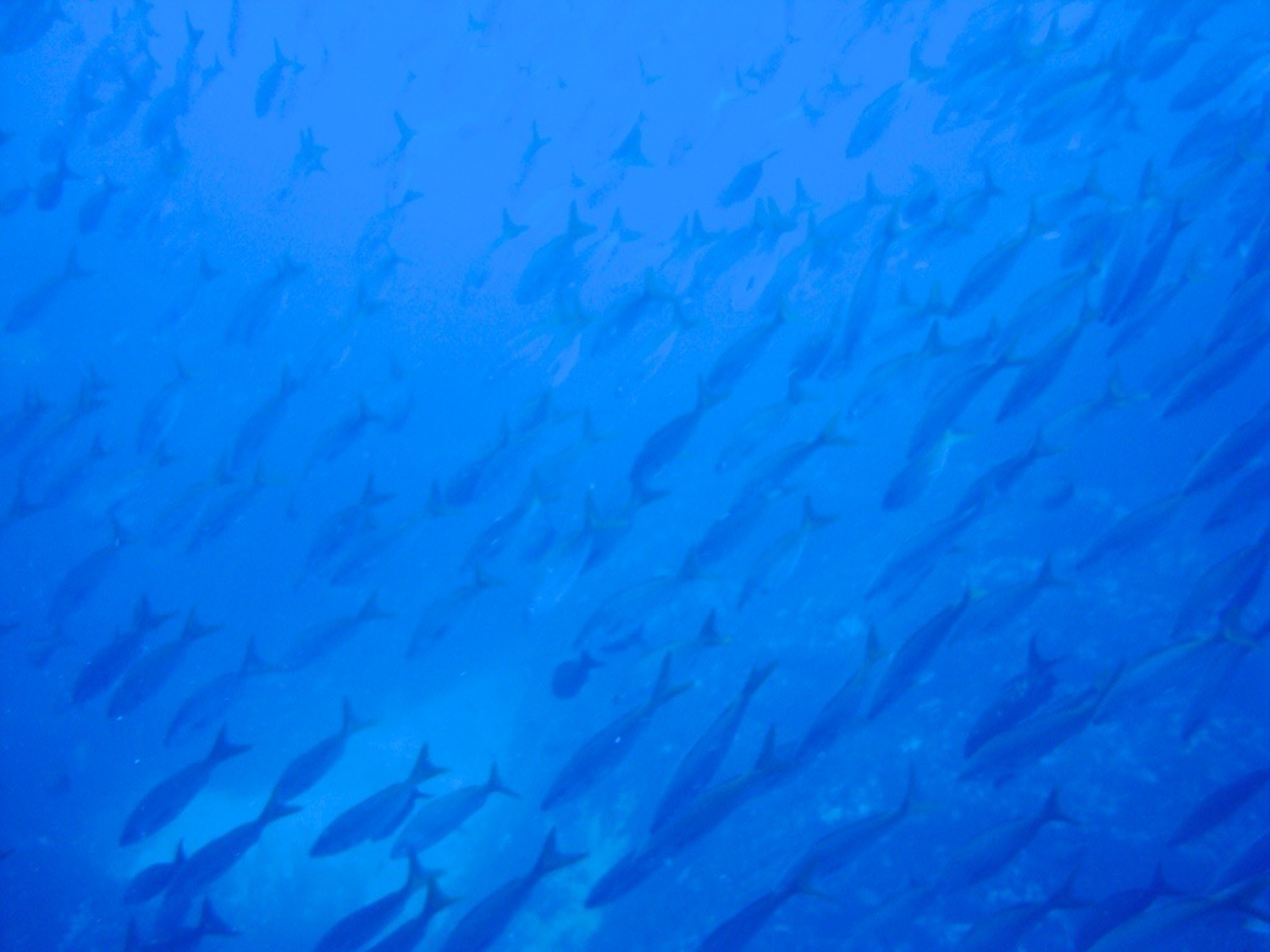
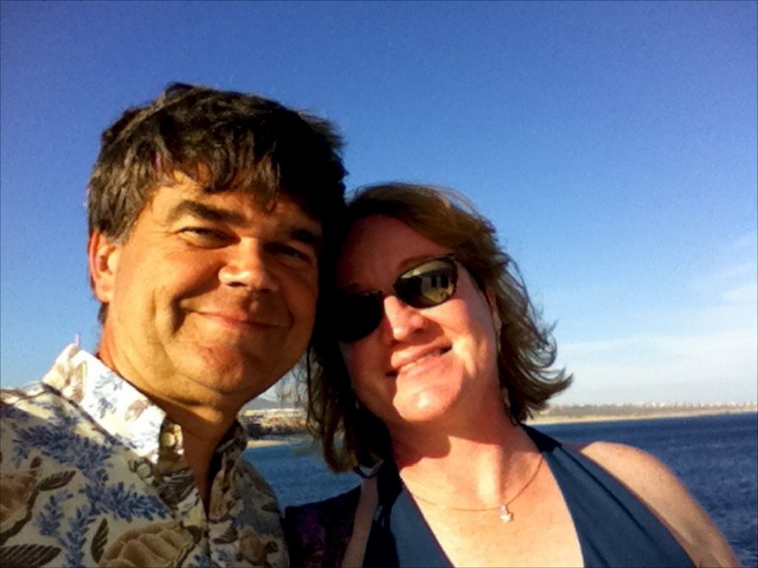
We pack tonight to head to Kwajalein for diving -- I’ll be there 5 days, Wayne 7.  I’ll have no connectivity while we are gone, but rest assured that I will write a daily log, and have everything updated for publishing when we get home!

Here’s a little info now:  Kwajalein is west of the international date line, making it one day ahead of Hawaii and the continental United States. When it's noon Sunday on Kwajalein, it's 2:00 p.m. Saturday in Honolulu and 7:00 p.m. EST Saturday on the East Coast. The work week on Kwajalein and Roi-Namur is Tuesday through Saturday, to correspond to the work week in the States.

Kwajalein Atoll is part of the Republic of the Marshall Islands (RMI) in the West Central Pacific Ocean. It lies 2,100 miles southwest of Honolulu. Kwajalein is in the same general latitude as the southern area of the Republic of the Philippines and the same general longitude as New Zealand, approximately 3,200 miles to the south. Kwajalein Atoll lies less than 700 miles north of the equator.

Kwajalein Atoll is a crescent loop of coral reef, enclosing an area of 1,125 square miles, the world's largest lagoon. Situated on the reef are approximately 100 small islands with a total land area of 5.6 square miles. Kwajalein Island, the largest in the atoll, is 3/4 of a square mile wide and 3.5 miles long (approximately 1.2 square miles in area). From Kwajalein Island north to Roi-Namur is approximately 50 miles; northwest from Kwajalein to Ebadon is approximately 75 miles. Approximately 14,000 Marshallese citizens live within the atoll, with the majority living on Ebeye, three miles north of Kwajalein. Over 1,000 Marshallese are employed by United States Army Kwajalein Atoll / Reagan Test Site (USAKA/RTS) contractors.

Kwajalein is the name for both the atoll ( a group of coral islands enclosing a lagoon) and the island located at the bottom of the atoll.

Nearly everyone agrees that the place name "Kwajalein" is a European derivation of the Marshallese words ri-ruk-jan-leen; the people who gather or harvest the fruits or blossoms. The mythical flower tree itself has sometimes been called Kwajalein. The tree was a never-ending source for gathering blossoms used in making flower wreaths, and perfume. There was always an abundance of flowers, no matter how many and how often they were gathered. In Marshallese tradition Kwajalein is thus a place of abundance and generosity. 

Kwajalein Island, the largest in the atoll, is 3/4 of a square mile wide and 3.5 miles long (approximately 1.2 square miles in area).

History of the Republic of the Marshall Islands

The history of the Marshall Islands re-cords the successive influences of various peoples. It is thought that the islands were populated from around 3,000 B.C. to 2,000 B.C. by migrations from the Philippines, Malaysia, New Guinea and adjacent islands. During the past thousand years, an influx of Polynesians occurred.

Until the 16th century, the area had no contact with the Western world and developed its own culture, still evident today. Spanish explorers first "discovered" the Marshalls in 1526, but had little to do with these small coral islands. In the late 1700s, the Marshalls were "rediscovered" by various European voyagers, notably English Captains Gilbert and Marshall (for whom the Marshall Islands were named). It was not until the l9th century, with the arrival of traders, whalers and missionaries that Western influences began to be felt. The development of the copra (coconut) trade, together with awakening interest in the strategic importance of the islands, led to rivalries among the increasingly imperialistic nations of Europe.

By the end of the 19th century, Spain had surrendered her Micronesian claims to Germany. During World War I, the Japanese took control of Micronesia. The is-lands remained under Japanese domination until they were occupied by the U.S. toward the close of World War II.

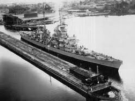
World War II at Kwajalein Atoll: Operation Flintlock

In one historic week, from January 29 to February 4, 1944, with the most powerful invasion force ever assembled up to that time, American forces seized Kwajalein Atoll from Japan. The invasion of the Marshall Islands, code named Operation Flintlock, served as a model for future operations in the Pacific. The seizure of Kwajalein Atoll was the first capture of prewar Japanese territory and pierced the Japanese defense perimeter, paving the road to Tokyo. It took strategic control of the Marshalls away from the Japanese and eliminated major naval and air bases. It severed Japanese lines of communication and shortened the Pacific campaign.

The task force that accompanied the 4th Marine Division and the 7th Infantry Division to Kwajalein Atoll was the largest in the Pacific, with an assemblage of carriers, battleships, cruisers and destroyers. The major atoll islands of Kwajalein, Roi and Namur were bombarded by ships, carrier-based planes and land-based planes from the Gilbert Islands for days prior to troop landings.

The Battle for the Southern Atoll

The invasion of Kwajalein Island by the 7th Infantry Division was a near-perfect amphibious assault on beaches at the west end of Kwajalein on February 1, 1944. The island was secured at dusk on February 4th, when the 32nd Regimental Combat Team surged across the last 150 yards of the island, overrunning the one remaining bunker (now known as Bunker Hill). American losses were 142 dead, 845 wounded and two missing in action. The estimate of enemy losses was 4,938 dead and 206 taken prisoner.

The Battle for the Northern Atoll

The battle for Roi and Namur islands also began on February 1. The islands were secured in 24 hours and 15 minutes of fierce fighting. The 4th Marine Division set three new records on its first operation. It be-came the first division to go directly into combat from the United States; it was first to capture Japanese-mandated territory in the Pacific; and it secured its objective in a shorter time than that of any other important operation since the attack on Pearl Harbor.

Battle casualties were 190 Marines killed and 547 wounded on the two islands. Japanese losses were 3,472 killed and 264 taken prisoner. Many bunkers and buildings remain as evidence of the Japanese time in Marshallese history.

Following the Japanese surrender in 1945, the is-lands remained under U.S. military administration until 1947, when they became part of the United Nations Trust Territory of the Pacific Islands (TTPI). By agreement with the United Nations, the U.S. assumed responsibility for the TTPI through the Department of the Interior. In 1969, negotiations began for a new political status for Micronesia.

In 1979, constitutional self-government in free association with the U.S. was established for the Marshall Islands.

Kwaj map
US & RMI flags on Kwaj

Be it ever so humble

Our trip home was fraught with irritations -- although we were upgraded on our United flight to LA, we were not listed as having boarded the plane and flown!  Luckily, we noticed this right away when we got in, so we called Continental and were assured our seats were available, and secure.  We did check into the airport early though!

Our overnight in LA was very pleasant, got a good deal on the hotel, and finally made it to the Palm for dinner.  Their summer lobster special was extended by a month, so Wayne and I split a very pleasant dinner.  Definitely need to look at going there for dinner one night while we are in NY!

We got home to several mini disasters -- an overflowing litter box, broken spoon rest, fried hard drive on the iMac, and the sound connections yanked from the AppleTV to the Panasonic.  Talk about disasters!

Of value to us from this trip was our timeshare pitch.  Wayne and I had thought about acquiring an after market resale timeshare at the Marriott in Ko’Olina, but the pitch and the fine print we saw in Cabo was enough to put us off even buying a resale.  Instead, we will probably look to buy a condo, use the mortgage benefits, and find a company to manage it for us.  That way we will have access, it will be somewhere we intend to go annually, and we won’t have to trade in order to enjoy the benefits!  We are now thinking Kona, but that time is not upon us yet.

The trip to Cabo was made by our interaction with Sunshine Dive and Charter, we both highly recommend them.  Lars works with you to price out a great package deal, and has a professional, pleasant staff.  It’s not often a poor divemaster gets saddled with leading four instructors for a week, Jonathan did a really wonderful job (despite the computer/bootie incident!!).  We will definitely now go back to Cabo, which we wouldn’t have believed at the beginning of the trip.

Four musketeers

Hammerheads!

About 1.5 hours away by boat from Cabo San Lucas and 5 miles off-shore from Punta Gorda on the East Cape are the famous Gordo Banks. The top of this seamount forms a plateau at approximately 120 feet with the width of about 2 football fields. The average depth of this dive is between 100 and 140 feet, but the seamount drops deep into the abyss. The main attraction of this site are the stunning yet shy hammerhead sharks. Its not unusual to see large schools of more than 100 hammerhead sharks roaming around. Their well built bodies and weird appearance make this encounter an unforgettable one. On our way out, we saw manta rays, wahoos, yellowtails, tunas and dolphins, plus a lone sea turtle lounging on the surface of the abyss.  The top reef of Gordo Banks is covered in black coral bushes and large schools of snappers and sea bass hover above the large coral boulders.

We were looking forward to this trip from the minute it was suggested at our dive shop.  And it did not disappoint.  It was a fairly long boat trip out, about an hour and a half, and we saw various forms of life (when we weren’t napping).  We arrived at Gordo Banks, and were surrounded by dozens of fishermen looking for big game fish.  And they scored.

Our first dive proved mostly uneventful.  Once we got through the layers of jellyfish, there were groupers, snappers, and what looked like wahoo.  We descended down to about 125 feet, and tooled around quickly looking for hammerheads.  We saw one lone hammerhead before ascending.

We had an hour surface interval, and then jumped in for dive two.  We went down the same descent line, saw the same initial pelagics, and then swam out into the blue.  Probably 10 minutes into the dive, our divemaster took off like a shot, banging his tank loudly.  Dashing behind him, we saw a school of at least 50 hammerheads.  I tried to snap off a bunch of pictures, but don’t know how successful I was thanks to the absolute blue brightness of the waters.  We shall see. 

The rest stop was in the middle of jellyfish, but this time I wasn’t the one stung, poor Wayne was after playing with one in particular that rolled itself up and smacked him over the lip.

The ride back was long, nearly three hours, and we rinsed gear, settled up our bill, and took off to get ready for our sunset cruise.  If you ever have the chance to do one of these in Cabo, we both highly recommend Cabo Rey.  Very professional, nice food, comfortable accommodations. It was a very nice way to end our stay in Cabo.

Muck diving

Today’s dives were both more than pleasant.  For our first dive, we dove from middle wall to Land’s End, looking once again at the sandfalls.  Not very active, but still blinding as you look.  It is amazing to see how rapidly they drop in depth, and the sheer darkness of the abyss that they fill.  There were what appeared to be dozens of scorpionfish out today, along with a host of goatfish, plus a tiny juvenile peacock razor wrasse flitting about.

This was our fourth day of diving sans wetsuits, and I was quite cold indeed, and jellyfish bitten all over my left leg.  Blech.  It is my full intent to wear a wetsuit tomorrow!!!!!

Second dive was at the feeding station.  We descended at the Snuba area (we were looking to make fun of those who couldn’t roam freely!), and made our way to the bait station.  Lots of big fish milling around.

There were a bunch of macro photo opportunities, to include a teeny tiny octopus that wouldn’t come out.  We had hoped to be somewhat warmer since the dive was shallow, but no luck!  At least there were no jellies.

The highlight of the day was probably stopping in town for lunch.  We found a little Mexican cantina with free wifi -- can you guess what we wound up doing?  =]

Tomorrow is Gordo Banks, and hammerheads, hopefully!!